| |
|
| |
|
|
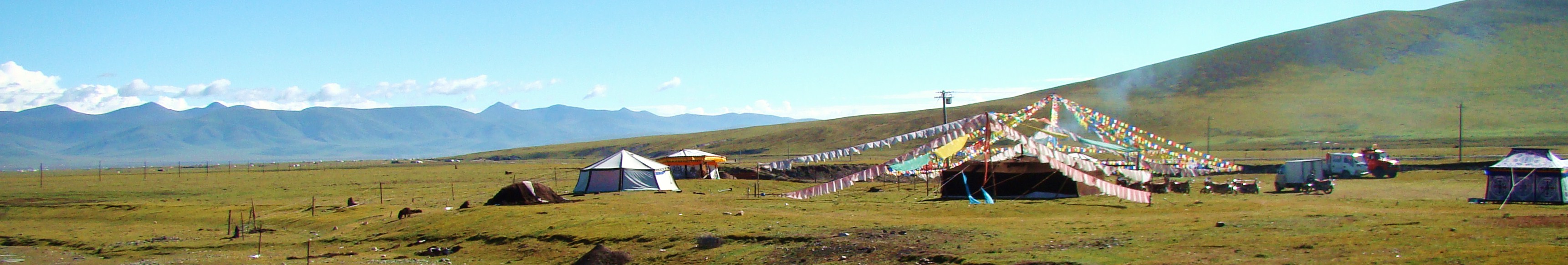
TIBETAN AREA RIVERS AND LAKES |
|
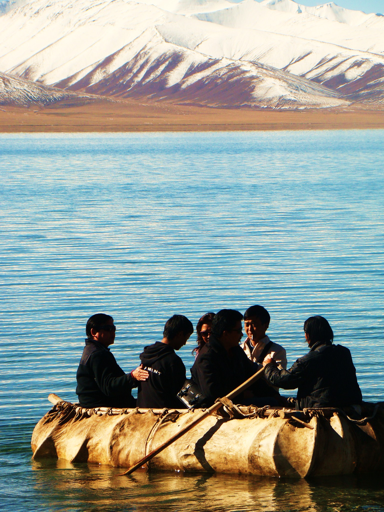
Tibet
is chock full of rivers and lakes providing a whole lot of
hydroelectric power.
Tibet is the source of many of the continent’s major rivers. The Brahmaputra is Tibet’s most important river.
 The
Indus,
Ganges, and Sutlej rivers have their headwaters in western Tibet. The
Salween River (Nu Jiang) comes forth in central Tibet as does the headwaters of the
Mekong (Lancang Jiang),
Yangtze (Chang Jiang), and
Huang He (Yellow River) are found in northern Tibet. Many of Tibet’s rivers
have potential for hydroelectric development. The
Tibetan Plateau is dotted with
numerous somewhat salty lakes, including Ngangla Ringco in the west and Nam Co
(Namtso/Na-mu-ts’o) in the east. Where is gets confusing is keeping track of all
the names, the ancient Tibetan names, the current Tibetan
names, and the names given by the Chinese. None the less,
bank on it, most water comes from the
Tibetan plateau making
it one of Tibet's most valuable natural resources.
We'll cover a few briefly here. The
Indus,
Ganges, and Sutlej rivers have their headwaters in western Tibet. The
Salween River (Nu Jiang) comes forth in central Tibet as does the headwaters of the
Mekong (Lancang Jiang),
Yangtze (Chang Jiang), and
Huang He (Yellow River) are found in northern Tibet. Many of Tibet’s rivers
have potential for hydroelectric development. The
Tibetan Plateau is dotted with
numerous somewhat salty lakes, including Ngangla Ringco in the west and Nam Co
(Namtso/Na-mu-ts’o) in the east. Where is gets confusing is keeping track of all
the names, the ancient Tibetan names, the current Tibetan
names, and the names given by the Chinese. None the less,
bank on it, most water comes from the
Tibetan plateau making
it one of Tibet's most valuable natural resources.
We'll cover a few briefly here.
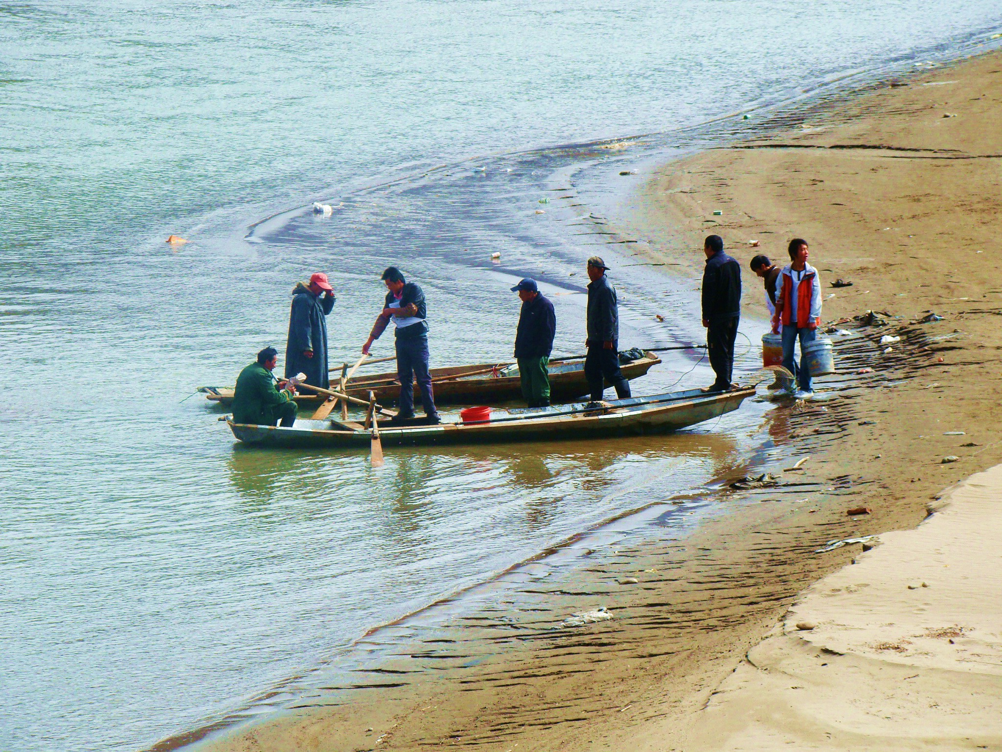
The bushy banks and small rocky
outcrops of the rivers and lakes are good places to view
birds, eagles, hawks, water fowl, swans and geese. PLEASE
DON'T STEP ON THEIR EGGS! On the banks of the salt water
lakes, there may be found mounds of alkaline which contains
borax. Here you will find some of the saltiest lakes on
earth, providing Himalayan Salt, the only REAL salt in the
world. With 87 minerals, Himalayan Salt can cure a lot of
physical problems, including dehydration. But what you will
remember are the colors. Ever lake and river is different,
but the coloring is unmatched anywhere in the world, likely
due to the fact that this area is the closest to the sun.
Bring your cameras and your smiles. These areas are
breathtaking! |
| |
|
|
PRISTINE
LAKES |
STUNNING
RIVERS |
Namtso
Lake
Heavenly
Namtso Lake is one of the four most sacred lakes in Tibet.
Namtso Lake is defined as 'Holy Lake'. This lake is located in Nagqu and is an important pilgrim destination. The lake is situated at a height of 4720 meters and
covers an area of 1900 sq. km. This lake is the highest
and largest salt lake in the world.
Wild yaks, hares and other wild animals
leisurely look for food along the expansive lake shores;
countless migratory birds fly here to lay eggs and feed
their young.
more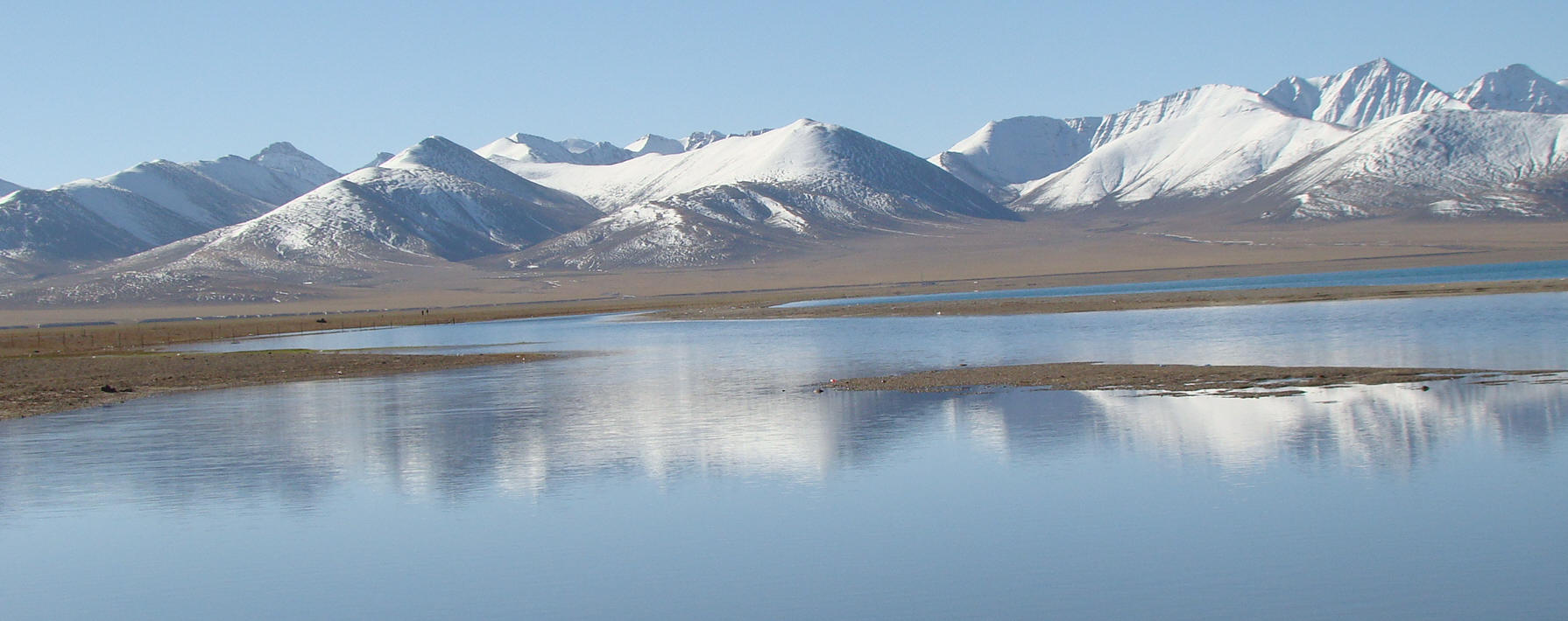 |
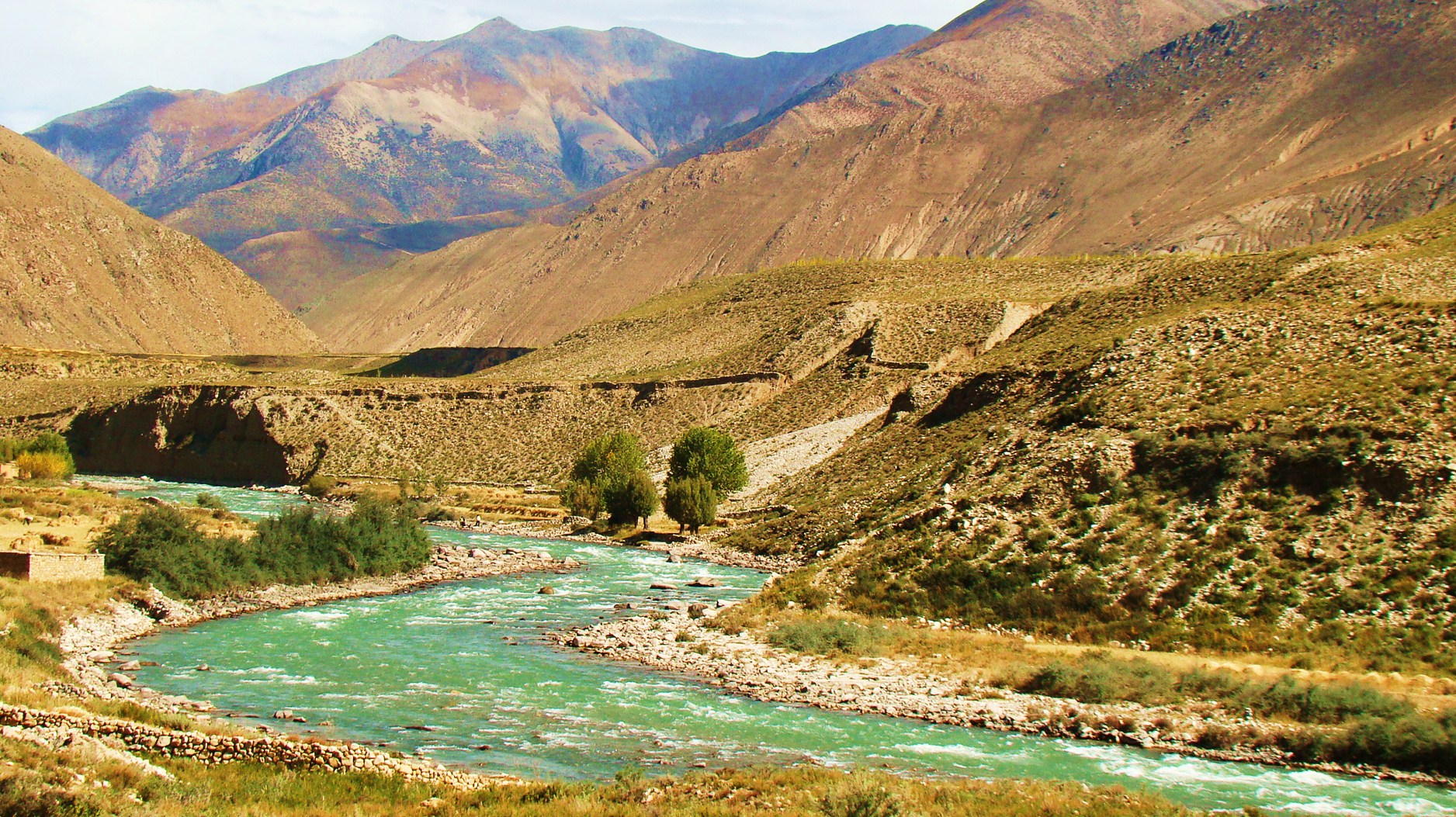
The
Yaluzangbu River
The Yaluzangbu River is 2,057 kilometers. Incredibly it turns and twists like a
slithering dragon
from the west to the east into the charming valleys of south Tibet.
Then it goes all the way through Muotuo county and after a
90-degree turn, it empties into the Indian Ocean.
 |
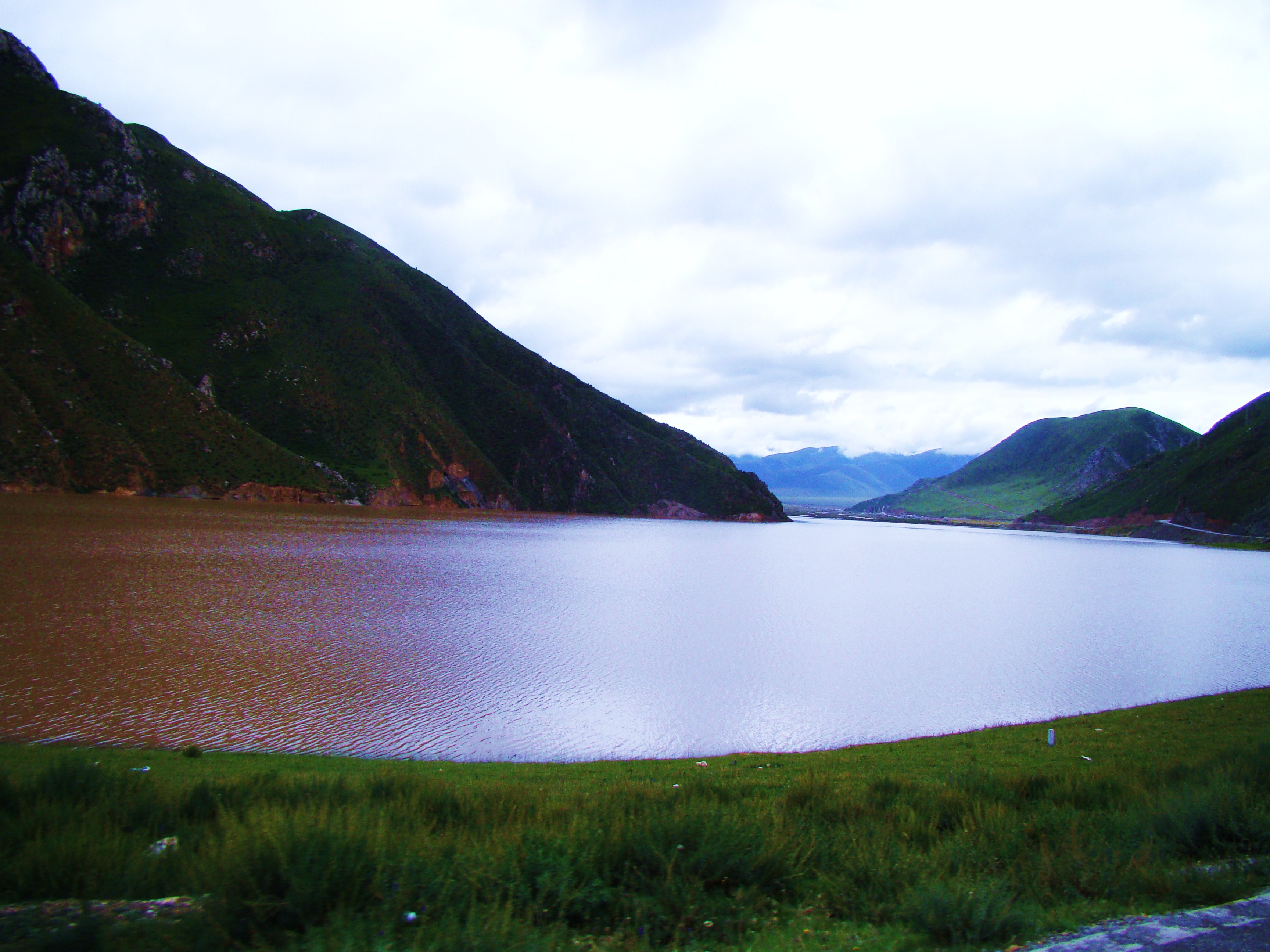
The Mansarovar Lake - A
Holy Lake
The lake is situated 30km
southeast of the Holy Mount. It has an surface area of 400
square kilometers. Some Buddhists believe that the lake was
a gift from heaven. Nearby inhabitants claim that the holy
water can cure diseases, wash people clean of their sins,
even take away their problems, finding true happiness. In
fact it has been claimed that this lake in located in the
"West Heaven". Visit the Holy Mountain nearby and witness
the pilgrims finding joy.
|
The Yangzongyong Lake
The Yangzongyong Lake is within Langkamu county. With an
area of 638 square kilometers and a coastal line of 250 kilometers
it is a great fishing lake.
The deepest
point is 60 meters. At the lake there is a fish reserve. For
this reason it is often referred to as "the fish store of
Tibet".
The Namu Lake
With an area of 1940 square kilometers, the Namu lake is the second
largest salt water lake. Soaking in natural salt water is
wonderful to cure aches and pains. There are three islands
that provide a great spot for wildlife and bird watching. One of the
islands is made of calcareous sandstone. It is characterized by
the stone pillars, natural stone bridges and stalactite caves.
Yamdrok Lake
Lhama Nhatso Lake |
The
Three Rivers in the East
Golden Sand - Yangtze River
Snaking its way 6,300 kilometers from western China’s
Qinghai-Tibet Plateau to the East China Sea,
the Yangtze River stretches over nine entire provinces and
serves as a draining system for 695,000 square miles of
land. It is less in length only to the
Amazon and Nile, although some claim it to be the longest in
the world, and spans so many regions that it has acquired
half a dozen names over the centuries.
In the high Qinghai-Tibet Plateau, the Tibetans title it
Dri Chu—Female Yak River.
The Chinese in the area know it as Tongtian
Where it borders Sichuan and runs
through Yunnan, it is referred to as Jinsha Jiang,
River of Golden Sand. Only in the lower
extremities does this water giant go by the name common to
foreigners: Yangtze.
Lancang River
The
Lancang River is the longest river flowing from north to
south in China. It takes its source from the Zhaqu of the
Guangguori Peak of Tanggula Mountain Range in Qinghai
Province. It is called the Lancang River after it reaches
Changdu. The river runs south until it leaves China at the
Nanla Bayout of Yunnan Province where its name changes from
the Lancang River to the Mekong River. The river finally
empties into the Pacific Ocean in the south of Ho Chi Minh
City in Vietnam. The Mekong Delta is well know since the
Vietnam war, but who would have guessed that this famous
river actually begins at the
Tibetan Plateau. As the longest
river in the Southeast Asia, the river has a total length of
2,354 kilometers and a drainage basin area of 165,000 square
kilometers.
Nu
River (Salween)
The Nu River is one of China’s last free-flowing
rivers and is shared by China, Thailand, and Burma. The
river originates on the Tibetan Plateau and flows through
China’s Three Parallel Rivers World Heritage Site, an area
known as the epicenter of Chinese biodiversity. The World
Heritage Site contains over 6,000 plant species and is
believed to support over 25% of the world’s and 50% of
China’s animal species. Also known for its cultural
diversity, almost 300,000 people from thirteen different
ethnic groups live in the Three Parallel Rivers Area. |
| |
|
|